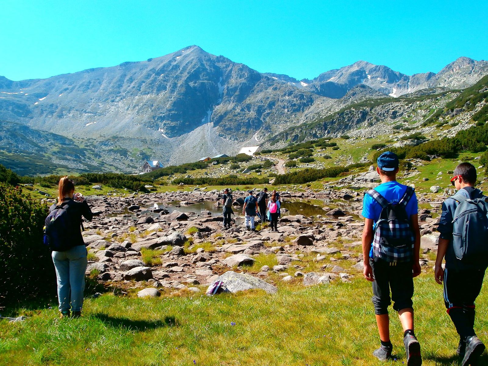
Day Hikes near Sofia: My 8 Favourite Walks by Bus, Train or Car
Sofia has a 2,290-metre mountain at the end of its high street, and a city bus takes you most of the way up it for €0.80. Further out, a train runs north into the Iskar Gorge, and a car gets you to Rila, home of the Seven Lakes and the highest peak in the Balkans. These are my 8 favourite day hikes near Sofia, with how I reach each start and how long the walking takes.
Day hikes near Sofia at a glance
I've ordered these by how easy the start is to reach from the centre: 5 on Vitosha by city bus, 1 in the Iskar Gorge by train and 2 in Rila by car. Walking times are for the way up unless the table says return.
| Hike | Mountain | How I get to the start | Walking | Effort |
|---|---|---|---|---|
| Cherni Vrah from Aleko | Vitosha | Metro M2 to Vitosha station, then bus 66 | 3 km, 1.5 to 2 hours up | Moderate |
| Kamen Del from Aleko | Vitosha | Bus 66 to Aleko | About 7 km return, 1 hour each way | Easy |
| Boyana Waterfall | Vitosha | Bus 65 to Boyana | About 3 hours up, or 1 hour from Kopitoto | Moderate |
| Golden Bridges | Vitosha | Bus 63 from Tsar Boris III Blvd | As long as you like | Easy |
| Dragalevtsi Monastery | Vitosha foothills | Bus 64, 93 or 98 from Sofia Zoo | About 3 km uphill from the village | Easy |
| Skaklya Waterfall | Balkan Mountains | Train from Sofia Central to Gara Bov | Most of a day with the trains | Moderate |
| Seven Rila Lakes | Rila | Car to Pionerska Hut, then a €16 return chairlift | About 8.5 km, 4.5 to 5 hours | Moderate |
| Musala from Borovets | Rila | Car to Borovets, then the Yastrebets gondola | About 4 hours up | Hard |
Getting to the trailheads in 2026: buses, trains and the lifts that are shut
Of the mountains around Sofia, Vitosha is the easy one to reach, because city buses run to its trailheads. The Simeonovo gondola up to Aleko stopped in 2023 and its owner says it won't reopen, and the nature park lists the Dragalevtsi chairlift as not working. So every Vitosha hike in this post starts at a bus stop.
Bus 66 is the mountain bus. It runs from Sofia Zoo, calls at Vitosha station at the southern end of metro line M2, and climbs to Aleko at 1,810 metres. Bus 63 goes to Golden Bridges from Tsar Boris III Boulevard, bus 65 runs from Krasno Selo metro to Boyana, and 64, 93 and 98 run to Dragalevtsi. A ride costs €0.80. Tap the same contactless card all day and Sofia's buses and metro stop charging at €2.
I check departures on Sofia's public transport site the night before, and the Vitosha Nature Park access page lists which bus reaches which part of the mountain. For the Iskar Gorge I take the train from Sofia Central Station and look up the times on the BDZ timetable. Rila needs a car for a day trip.
Vitosha hikes, a city bus from the centre
Vitosha is a protected nature park, free to enter, and hiking it is number 10 on my list of things to do in Sofia. These 5 hikes run from the summit down to the foothills.
Cherni Vrah from Aleko
Cherni Vrah, the Black Peak, is the top of Vitosha at 2,290 metres. From the bus stop at Aleko the marked path runs 3 km and climbs about 480 metres, and I'm on top in 1.5 to 2 hours. Above the trees it's open grass and rock, and when cloud rolls in I walk from one marker pole to the next.
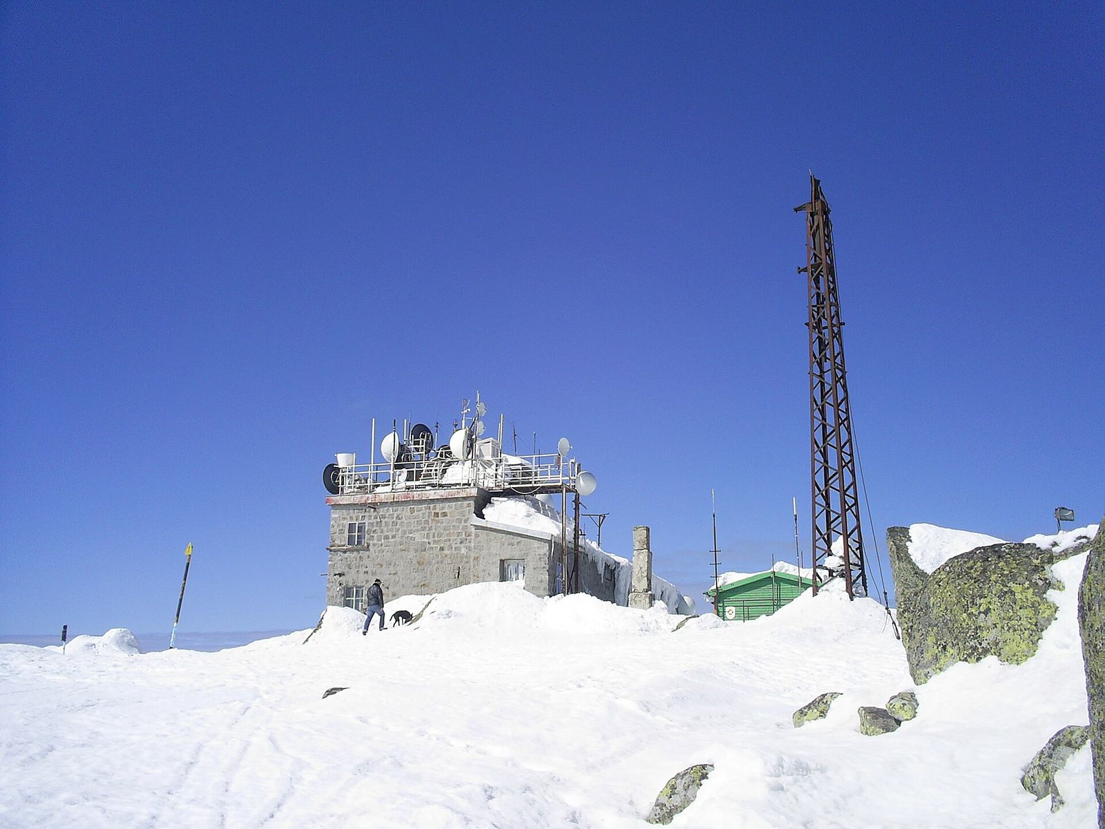
The summit's weather station has stood since 1935 and doubles as a shelter, with a cafe inside that's open all year. My order is the bean soup. Before I head down, I ring the bell in its metal frame just east of the station, which is what hikers do on reaching the top. Bulgarians date organised hiking from 27 August 1895, when the writer Aleko Konstantinov led about 300 people up here from Sofia.
From Aleko is the route I'd pick for a first climb, because the bus has already done most of the climbing. The longer routes up Cherni Vrah start lower down, at Golden Bridges and in the village of Zheleznitsa.
Kamen Del from Aleko
Kamen Del (Камен дел) is my favourite view of Sofia, and a gentler walk from the same bus stop. The 1,862-metre summit is a pile of andesite boulders on Vitosha's northern edge, and it looks straight down on the city. From Aleko it's about an hour each way, roughly 7 km there and back.
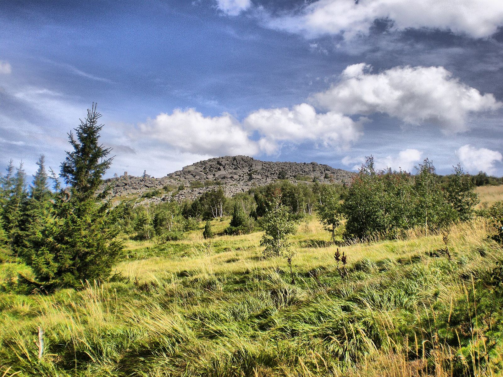
On a clear day I can pick out Pancharevo Lake at the eastern end of the view and the Gorna Banya quarter at the western end. I go when Cherni Vrah is in cloud. Kamen Del sits more than 400 metres lower. On a long summer day I do both: Cherni Vrah in the morning, Kamen Del after lunch, then the bus down from Aleko.
Boyana Waterfall from Boyana
Boyana Waterfall drops 25 metres down the Boyana River to a base at 1,260 metres, the highest fall on Vitosha. The trail starts in the Boyana neighbourhood at the foot of the mountain and climbs through the forest for about 3 hours. Bus 65 runs to Boyana from Krasno Selo metro, the same neighbourhood as Boyana Church's 1259 frescoes, so I see the church first and walk after.
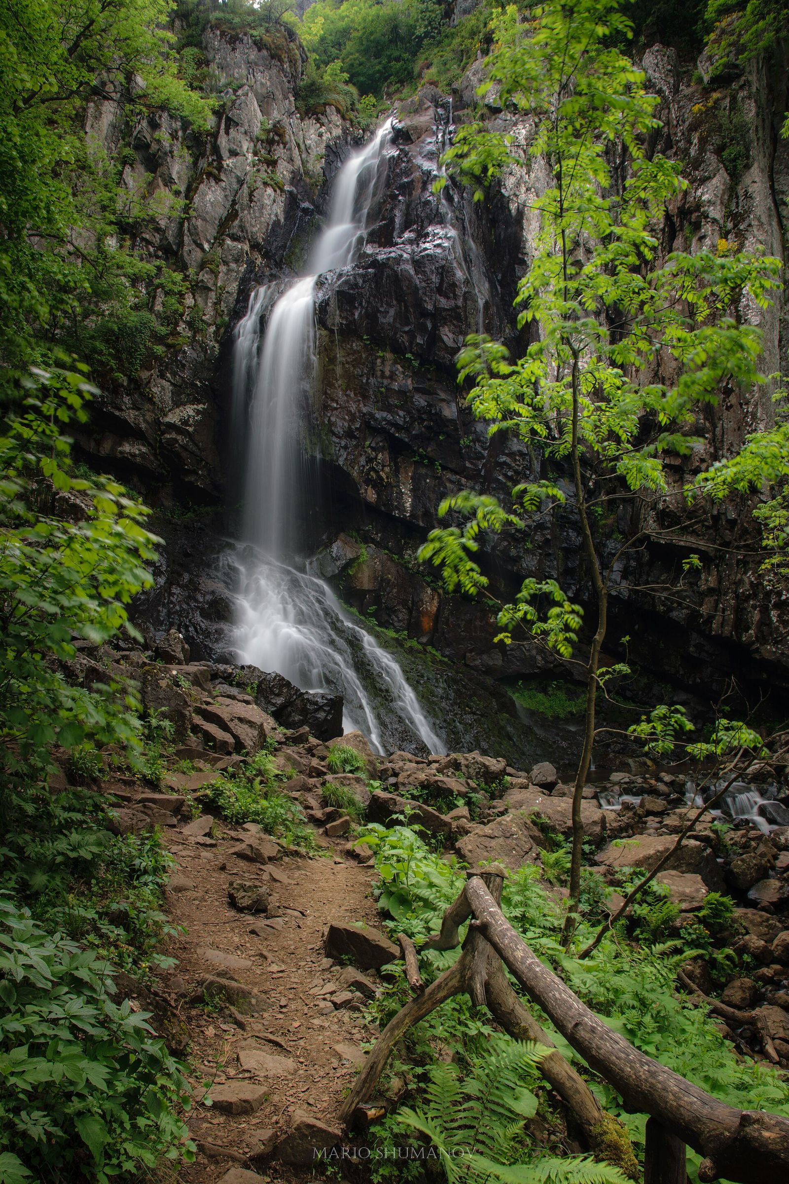
In a hard winter the fall freezes, and ice climbers come to rope up on it. If 3 hours uphill is more than you want, a taxi takes you to Kopitoto, the TV tower above Boyana, and the falls are about an hour's walk from there. Licensed taxis charge €0.73 to €1.24 a kilometre by day, with their rates on a card in the side window.
Golden Bridges and the stone river
Golden Bridges (Златните мостове) is a stone river: a run of huge boulders 2.2 km long and up to 150 metres wide, filling the valley of the Vladayska River. The golden lichen on the rocks gave it its name. Bus 63 from Tsar Boris III Boulevard stops at the bottom, at 1,410 metres, and it's where I bring friends who don't hike.
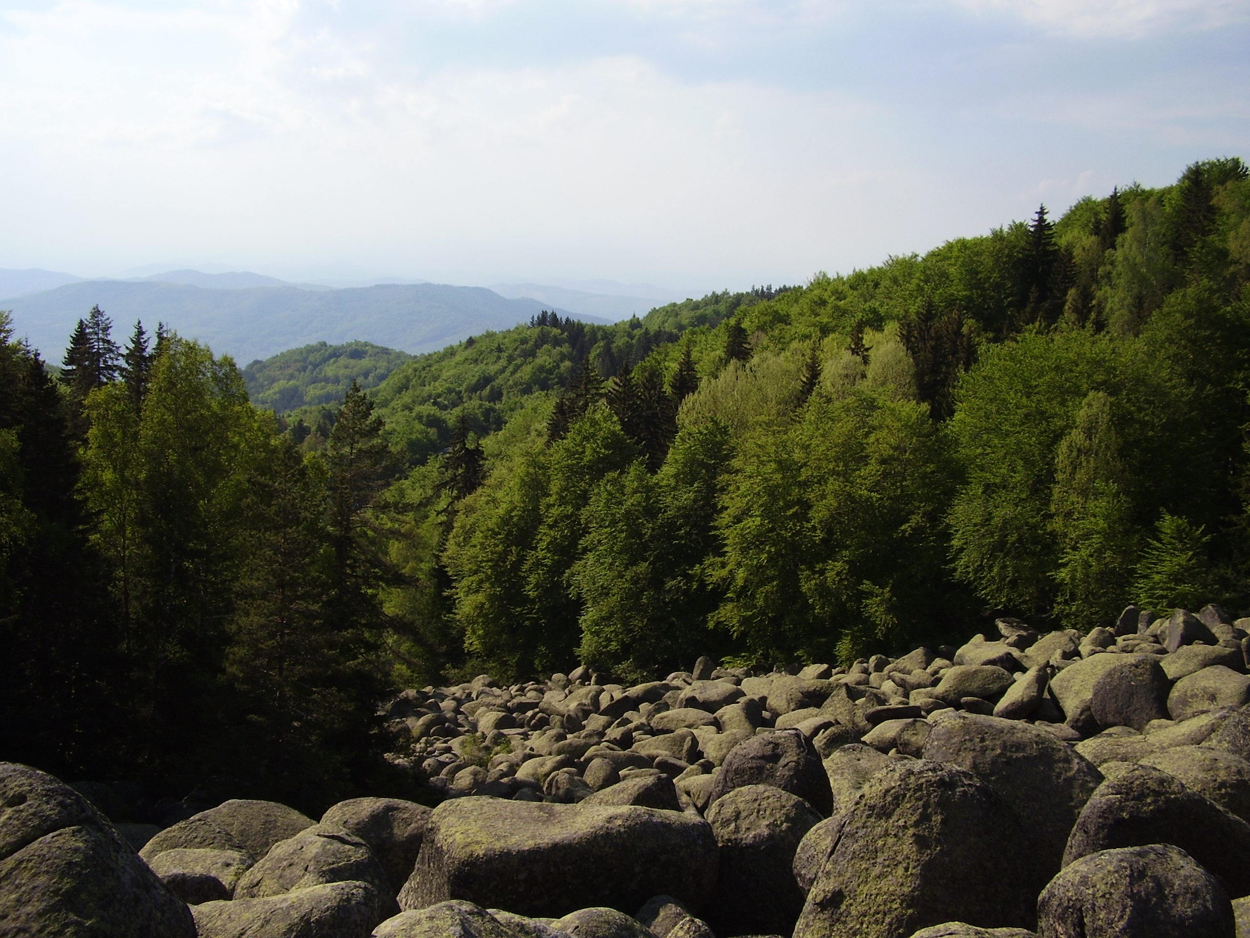
You hop from boulder to boulder for as long as your ankles allow, then follow the forest paths along the river. There's no set distance. That makes it my pick for children and for short winter afternoons. On a snowy day it's the prettiest corner of Vitosha, and the forest keeps the wind off.
Dragalevtsi Monastery from the village
This is my short forest walk for a grey day. Dragalevtsi Monastery stands in the woods on the lower slopes of Vitosha, about 3 km south of the old village of Dragalevtsi, and I walk up from the bus stop in the village.
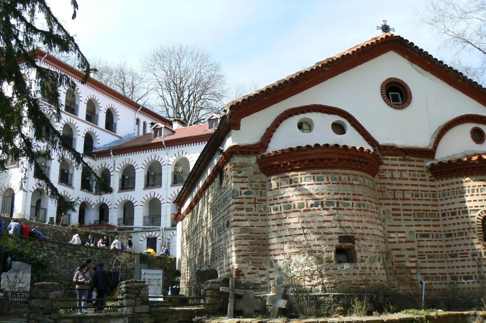
The monastery dates from 1345 and Tsar Ivan Alexander. Its church is tiny. It measures 12 metres by 5, with frescoes painted in 1475 and 1476 on the west front. In the 19th century Vasil Levski, Bulgaria's national hero, used it as a base while he built his secret network against Ottoman rule. It's a convent now, so I cover my shoulders and keep my voice down.
Buses 64, 93 and 98 run from Sofia Zoo to Dragalevtsi. Bus 93 also passes the bottom of the old Dragalevtsi chairlift, which doesn't run, so plan to walk.
Iskar Gorge hike, by train
North of Sofia, the Iskar River cuts a gorge through the Balkan Mountains, Stara Planina in Bulgarian, and the railway follows the river. It's my day out without a car: the train does the travelling and the walk starts at the station.
Skaklya Waterfall and the Vazov trail from Gara Bov
Skaklya Waterfall (Заселска скакля) drops 85 metres down a limestone cliff on the Skaklya stream, a tributary of the Iskar, near the village of Zasele in Svoge municipality. That's more than 3 times the height of Boyana Waterfall. The Vazov eco trail (Вазова екопътека) crosses the Iskar just south of Gara Bov and climbs to Zasele, passing beneath the falls on the way.
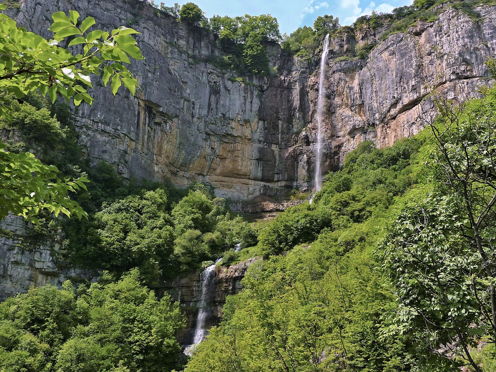
Trains up the Iskar Gorge leave from Sofia Central Station and stop at Gara Bov, a village that grew up around its station: it had 3 houses before the railway came. I go in spring, when snowmelt feeds the falls, or in autumn, when the woods around the cliff turn copper. Give it most of a day with the trains there and back, and pack lunch and water for the trail.
Rila hikes, a long day by car
Rila rises south of Sofia, further out and higher than Vitosha. Its 2 classic day hikes need a car and an early start on a summer day.
Seven Rila Lakes
The Seven Rila Lakes loop is my favourite hike in Bulgaria. Seven glacial lakes sit one above another between 2,095 and 2,535 metres, about 95 km south of Sofia. A chairlift from Pionerska Hut lifts you more than 500 metres up to the Rila Lakes Hut, for €16 return or €11 one way.
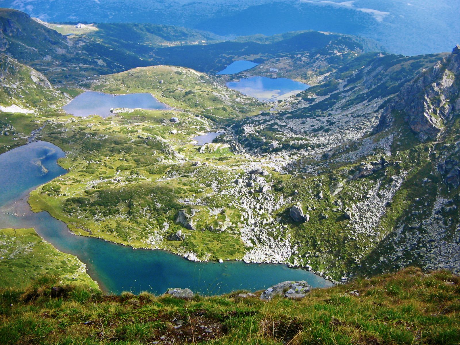
From the hut, the loop runs about 8.5 km past every lake, from the Lower Lake up to the Tear, and takes 4.5 to 5 hours with about 400 metres of climbing. Climb to the ridge above the top lake and the other six lie below you, strung down the valley.
I drive. It's 1 hour 30 to 1 hour 45 minutes down the Struma motorway and up through Sapareva Banya to the lift. No bus or train reaches the chairlift, and the bus-and-taxi route via Sapareva Banya takes 3 to 4 hours each way. The lift closes on the last Monday of every month and for 2 to 3 weeks each spring and October. With a car and a long July day, you can add Rila Monastery in the afternoon.
Musala from Borovets
Musala is the big one. At 2,925 metres, it's the highest peak in Bulgaria and on the Balkan Peninsula. Its name comes through Ottoman Turkish from the Arabic musalla, a place for prayer, and the Iskar, Maritsa and Mesta rivers all rise near it. On a clear day you can see every major mountain range in Bulgaria from the top.
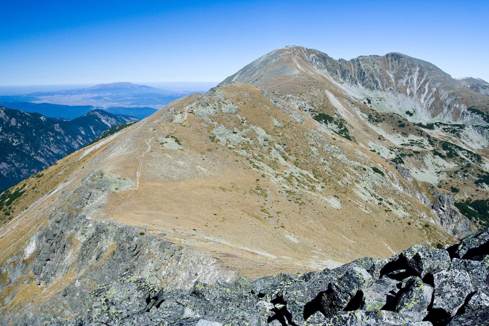
The shortest way up starts in the ski resort of Borovets. The Yastrebets gondola lifts you out of the resort, then a path climbs past Musala Hut and the Everest shelter to the summit, about 4 hours of hiking. Walk up from Borovets on the old Musalenska trail instead and you add about 3 hours. A weather station and a research observatory share the top.
I leave Sofia early for this one, and I check when the last gondola goes down before I set off for the summit.
The best hike near Sofia for each season
I hike around Sofia in every month, but the right trail changes with the snow line.
| Season | My pick | Why |
|---|---|---|
| Spring, April to June | Skaklya Waterfall, Boyana Waterfall | Snowmelt fills both falls, while ice can sit on the Rila lakes into June |
| Summer, July to September | Seven Rila Lakes, Musala, Cherni Vrah | The high ground in Rila and on Cherni Vrah is clear of snow |
| Autumn, October | Kamen Del, Golden Bridges | The beech, birch and aspen on Vitosha's lower slopes turn yellow and copper |
| Winter, November to March | Golden Bridges, Dragalevtsi Monastery | Sheltered forest and short walks that beat the 5.45pm last bus |
If you're choosing when to visit Sofia around a hike, I'd come in September, when the Rila lakes are clear of ice and quieter than in August.
Which hike near Sofia suits you
Here's how I match a hike to the friends I'm taking.
- First trip to Sofia, half a day spare: Kamen Del from Aleko, on bus 66 for €0.80, or Cherni Vrah if you can give it most of the day.
- Non-hikers and children: Golden Bridges, where the boulders make a climbing frame and you choose the distance.
- Art and a walk on the same day: Boyana Church, then the waterfall, or the taxi to Kopitoto and the walk down.
- No car and a full day: the train to Gara Bov and the Vazov trail to Skaklya Waterfall.
- A car and a big summer day: the Seven Rila Lakes, or Musala if you want the big summit.
And the times I'd skip them:
- Rila without a car on a weekend break: the bus-and-taxi route to the lakes eats 6 to 8 hours in travel.
- Cherni Vrah in cloud: there's no view and the wind bites, so go to Golden Bridges instead.
- A Vitosha summit after 3pm in winter: you won't be back at the stop for the 5.45pm bus.
What to pack for a day hike from Sofia
I reach most of these on a city bus, but I pack for a mountain.
- A warm layer and a waterproof: Cherni Vrah, Kamen Del and the Rila trails are open ground above the trees.
- Shoes with real grip for the boulders at Golden Bridges and the rock on the summits, and boots in snow.
- Water and food: the huts at Aleko, the Rila Lakes Hut and the summit cafe on Cherni Vrah sell food, and I carry my own for the walking in between.
- Euro cash, since the machines at the Rila chairlift sometimes fail, and I wouldn't count on a card reader in a mountain hut.
- The time of the last bus, train or lift down, screenshotted before I leave the city.
- A head torch from November to March, when the light goes early.
Key takeaways
- Without a car, Vitosha is the easy day out: bus 66 to Aleko for Cherni Vrah or Kamen Del, bus 63 for Golden Bridges, never more than €2 a day on one contactless card.
- In winter I keep to Golden Bridges or Dragalevtsi Monastery, short walks that have me at the stop well before the 5.45pm last bus.
- Skaklya Waterfall, 85 metres high, is my train day, from Sofia Central to Gara Bov, and it's best in spring.
- The Seven Rila Lakes and Musala need a car and a July to September day.
Frequently asked questions
What are some good hikes near Sofia?
My 8 favourites are Cherni Vrah, Kamen Del, Boyana Waterfall, Golden Bridges and Dragalevtsi Monastery on Vitosha, Skaklya Waterfall in the Iskar Gorge, and the Seven Rila Lakes and Musala in Rila. The Vitosha hikes start at city bus stops, Skaklya is a train ride away, and the Rila hikes need a car.
How long does it take to climb Vitosha mountain?
Cherni Vrah, the top of Vitosha, is 1.5 to 2 hours up from Aleko on a 3 km path, because bus 66 has already carried you to 1,810 metres. With the bus each way and the walk down, I set aside most of a day. From the bottom at Boyana, the trail to Boyana Waterfall alone takes about 3 hours up.
How do I get from Sofia to Vitosha mountain?
By city bus: metro line M2 to Vitosha station, then bus 66 up to Aleko, at €0.80 a ride. For Golden Bridges take bus 63, and for Boyana at the foot of the mountain bus 65 from Krasno Selo metro. The Simeonovo gondola closed in 2023, so it's the bus, a taxi or your own car.
How do you climb Cherni Vrah?
The easiest route starts at Aleko, the last stop of bus 66, and follows a marked path 3 km to the summit, with about 480 metres of climbing. Longer routes start at Golden Bridges and in the village of Zheleznitsa. On top there's a 1935 weather station with a cafe that serves bean soup all year.
What are some good hikes in the Rila Mountains?
The Seven Rila Lakes loop is the classic: about 8.5 km and 4.5 to 5 hours from the top of a €16 return chairlift. Musala, at 2,925 metres the highest peak in the Balkans, is about 4 hours up from the top of the Yastrebets gondola above Borovets. Both are summer hikes, best from July to September.
What mountains are near Sofia?
Vitosha rises right over the city, with Cherni Vrah at 2,290 metres. The Balkan Mountains, Stara Planina, lie to the north, where the Iskar Gorge and Skaklya Waterfall are. Rila sits to the south, with the Seven Rila Lakes about 95 km away and Musala above Borovets.
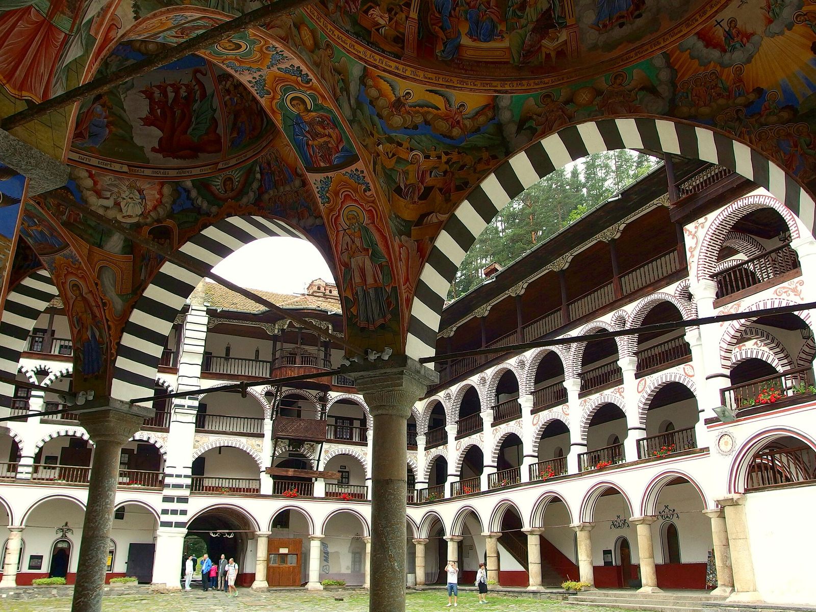
12 Best Day Trips from Sofia (and How I Get There)
My 12 favourite trips out of Sofia by bus, train and hire car, and the ones that deserve a night away.
Read the guide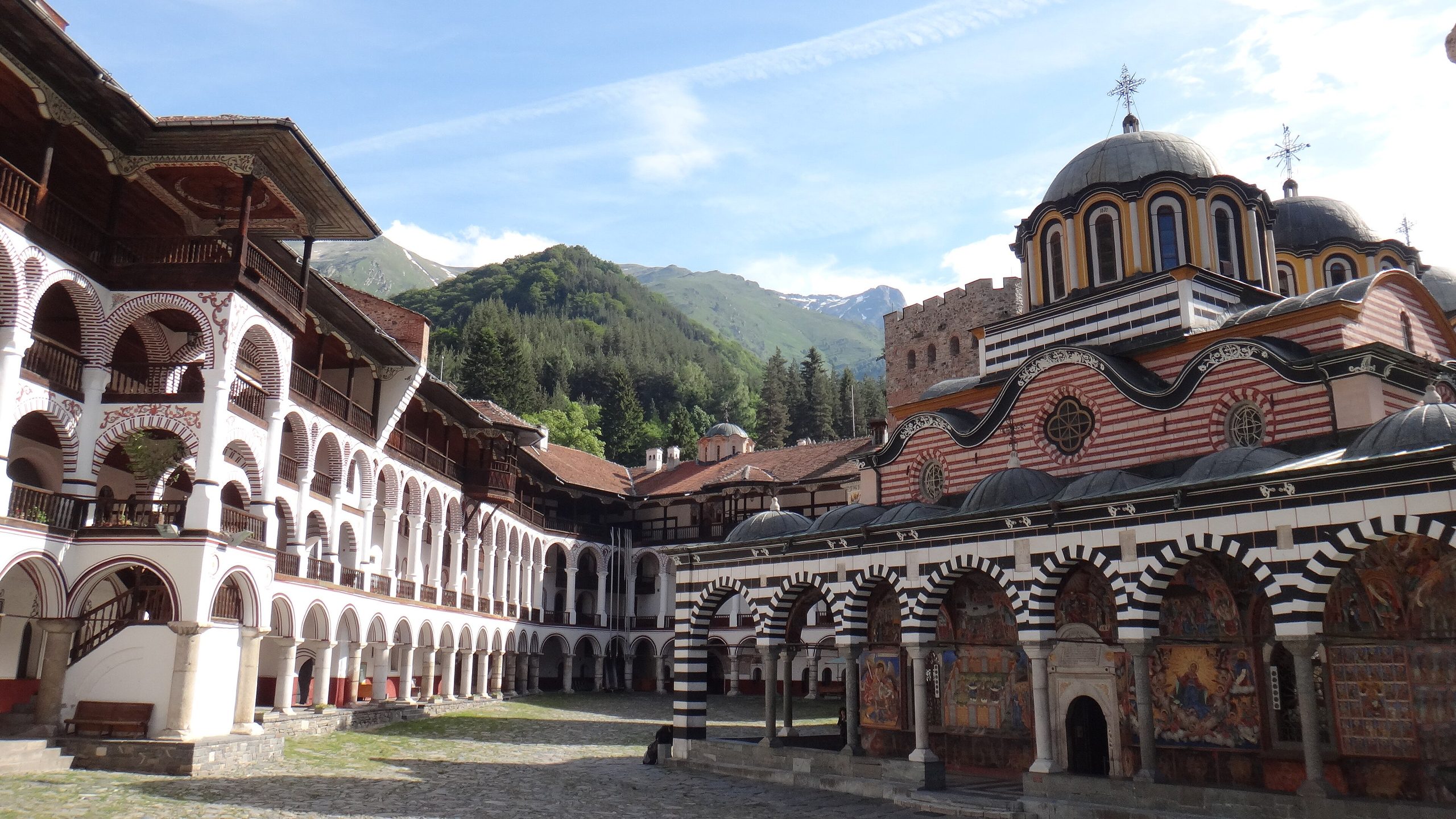
Rila Monastery Day Trip from Sofia: Bus, Car and Timings
Bulgaria's biggest monastery is free to walk into and 2 hours from Sofia. How I get there myself, and what to see.
Read the guide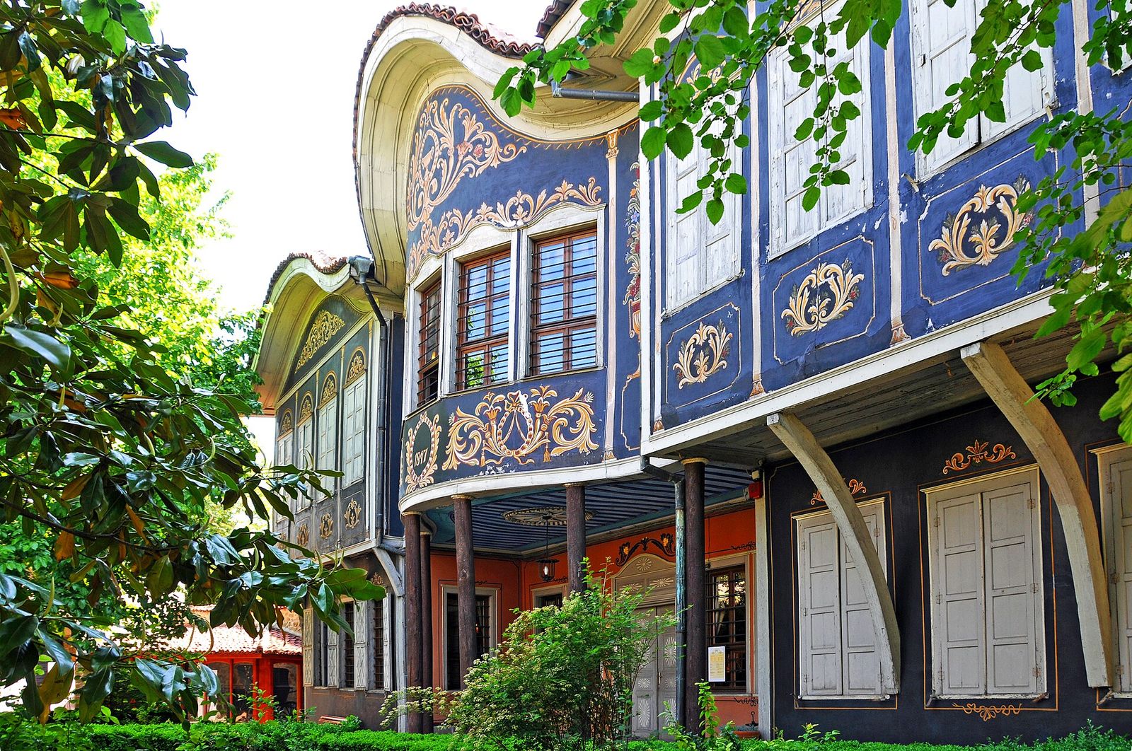
Plovdiv Day Trip from Sofia: Bus, Train and My One-Day Route
Plovdiv by bus or train from Sofia, and the route I walk to fit the Old Town, the Roman theatre and Kapana into one day.
Read the guide