Cherni Vrah Hike: How I Climb Vitosha's 2,290-Metre Summit
Cherni Vrah is the top of Vitosha, 2,290 metres up, and you can stand on it by lunchtime with nothing more than a metro ride and a €0.80 city bus. It's my favourite way to show friends how close the mountains are to Sofia. Here are the routes I use, how long each one takes, what's waiting on the summit and the time of the last bus down.
What Cherni Vrah is: the top of Vitosha at 2,290 metres
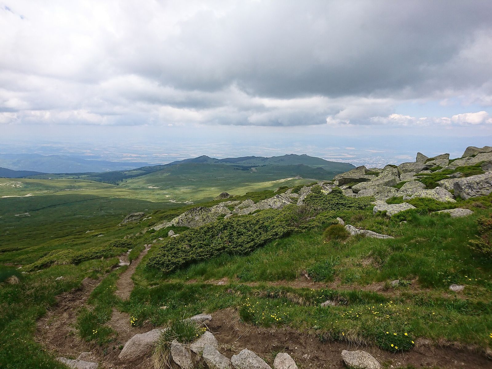
Cherni Vrah (Черни връх) means Black Peak, and it's the highest point of Vitosha, the mountain that fills Sofia's southern skyline. Vitosha ranks fourth among Bulgaria's mountains, after Rila with Musala, Pirin with Vihren and the Balkan range with Botev. No summit in the country gets anywhere near as many walkers, though: tens of thousands reach the top every year.
The top is a broad, rounded dome of grass and dark boulders with a stone weather station on it. It's also a watershed. The northern slopes drain into the Iskar, which carries on to the Danube and the Black Sea, while the southern slopes feed the Struma and end up in the Aegean.
Of all the things to do in Sofia, it's my top pick for anyone with a free Sunday and decent shoes.
How to get to Cherni Vrah from Sofia
Metro M2 and bus 66 to Aleko
Bus 66 is how I get up. Its route begins at Sofia Zoo and picks up at Vitosha metro station, next to Paradise Center, before it winds up the mountain road to Aleko at 1,810 metres. In February 2025 the line was extended to finish at the Aleko hut itself, and it stops at Hotel Moreni on request on the way.
From Serdika in the centre, Vitosha is the last station heading south on metro line M2, with no change of train. Every ride is €0.80, and if you use one contactless card for the metro and the bus, Sofia's public transport caps you at €2 for the day.
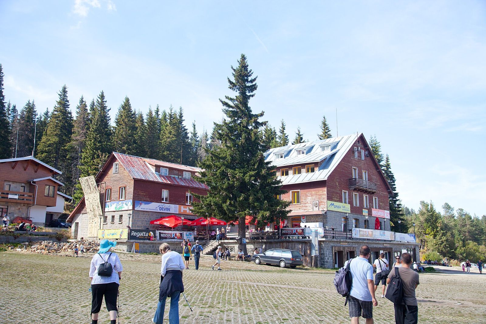
Aleko is a handful of huts and ski lifts among the spruces, named after the writer Aleko Konstantinov. I grab a coffee at the hut and set off straight from the bus stop. The evening before, I look up bus 66 on Sofia's transport timetable site.
Bus 63 to Golden Bridges and tram 5 to Knyazhevo
The longer routes begin lower down the mountain. Bus 63 leaves from stop 2543 on Tsar Boris III Boulevard, at the corner of Akad. Ivan Geshov Boulevard, passes through Boyana and terminates at Golden Bridges, about 1,410 metres up. My longest route starts from tram 5, which leaves from behind the Palace of Justice and ends in Knyazhevo, on Sofia's south-western edge.
Lifts up Vitosha in 2026
Forget the lifts from the city. The Simeonovo gondola, which used to carry people up to Aleko, has been out of action since 2023. Its owner says it won't reopen because it can't get the parts to repair it. Down at Dragalevtsi, the nature park marks the chairlift as out of service.
At Aleko itself, the two Vitoshko Lale chairlifts take walkers and mountain bikers up on summer weekends and public holidays. I walk from the bus stop anyway. The climb from Aleko is short enough on foot.
The last bus down from Aleko
From April to October you have until 8pm to catch a bus back to the city. From November to March the last one goes at 5.45pm, and I work out my day backwards from it.
Taxi or car to Vitosha
A taxi takes the timetable out of it. Daytime fares in Sofia's licensed cabs run from €0.73 to €1.24 a kilometre. The rate is on a card in the side window, so check it before you sit down. Order your ride back through an app before you leave the hut. If you've hired a car, roads climb all the way to Aleko and to Golden Bridges. I still go by bus at weekends: the road up is all bends, and on the bus nobody in my group has to drive it.
The routes up Cherni Vrah compared
The three routes I use differ mainly in how much of the climb the bus or tram does for you.
| Route | Start, and how you get there | Time up | Climb |
|---|---|---|---|
| From Aleko | Aleko, 1,810 m: metro M2, then bus 66 | 1.5 to 2 hours, 3 km | About 480 m |
| Via Kumata hut | Golden Bridges, 1,410 m: bus 63 | About 3 hours | About 880 m |
| From Knyazhevo | The last tram stop in Knyazhevo: tram 5 | About 5.5 hours | From the edge of the city |
From Aleko: the easy way up Cherni Vrah
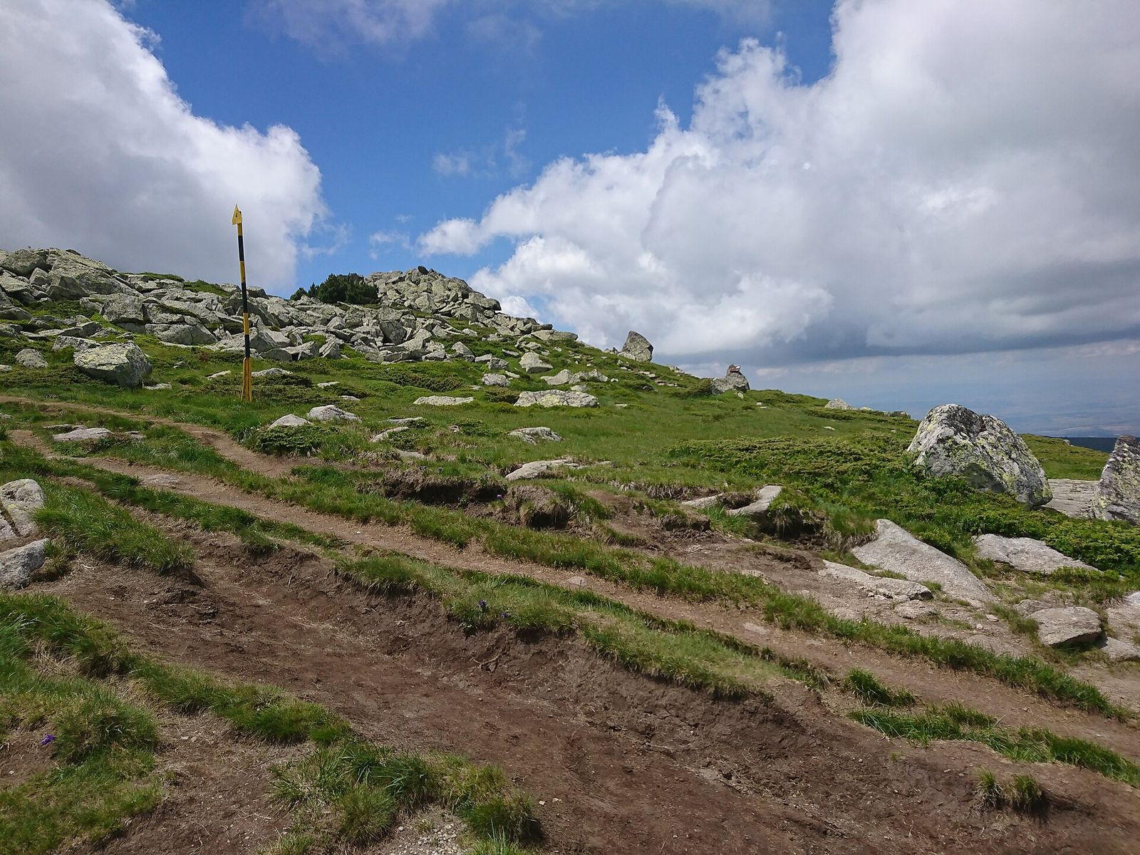
For a first climb, start here. A marked path leaves the Aleko bus stop and covers 3 km to the top, which takes me between an hour and a half and two hours. It's a steady uphill plod on a clear path, and in summer trainers with good grip are enough.
The path climbs the open slopes above the huts, where the ski runs come down in winter. Once you're above the trees it's grass and boulders, with yellow-and-black poles marking the line. If the cloud comes down, I go from pole to pole.
I take the same path back to Aleko, so there's time for a drink at the hut before the bus.
From Golden Bridges via Kumata hut
Golden Bridges (Златните мостове) is a stone river, a valley floor of enormous boulders along the Vladayska River. From the bus stop it's about an hour through the forest to Kumata hut, then about 2 hours more on a marked trail to the summit.
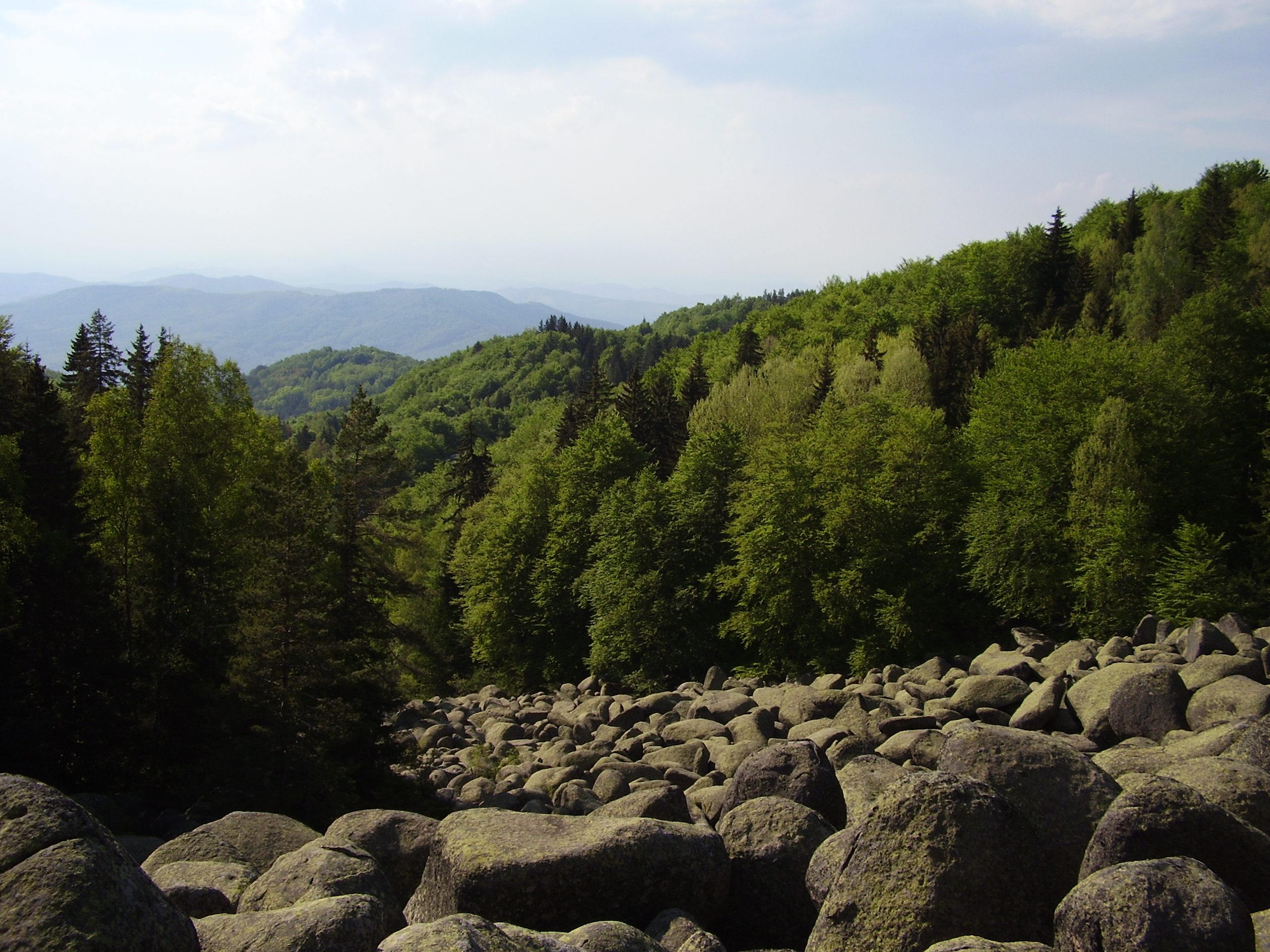
My favourite way to do it is one way only: up from Golden Bridges, down the short path to Aleko, then bus 66 home. You see two sides of the mountain and never walk the same stretch twice.
The long version starts at the tram. From the last stop of tram 5 in Knyazhevo it's about 3.5 hours on foot to Kumata hut, then the same 2 hours to the top, so about 5.5 hours up from the edge of Sofia. I only do it between June and September, when the days are long and the last bus runs late.
A fourth marked route climbs from the village of Zheleznitsa on the south-east side of Vitosha, past Kupena hut. I'd only walk it with a car or taxi at both ends.
What's on the summit of Cherni Vrah
The weather station and its cafe
A stone weather station has stood on the summit since 1935, a year after Vitosha became the first nature park in the Balkans. It's a refuge in bad weather, with no beds for walkers, and the Mountain Rescue Service keeps a team up here.
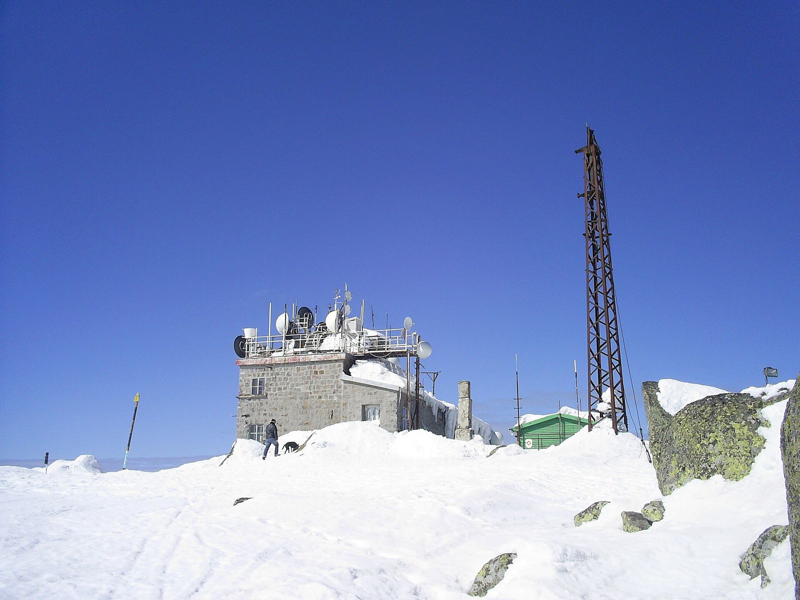
Inside, a small cafe serves hot meals all year. My order is the bean soup, bob chorba, one of the Bulgarian dishes I make every visitor try at least once.

The bell on Cherni Vrah
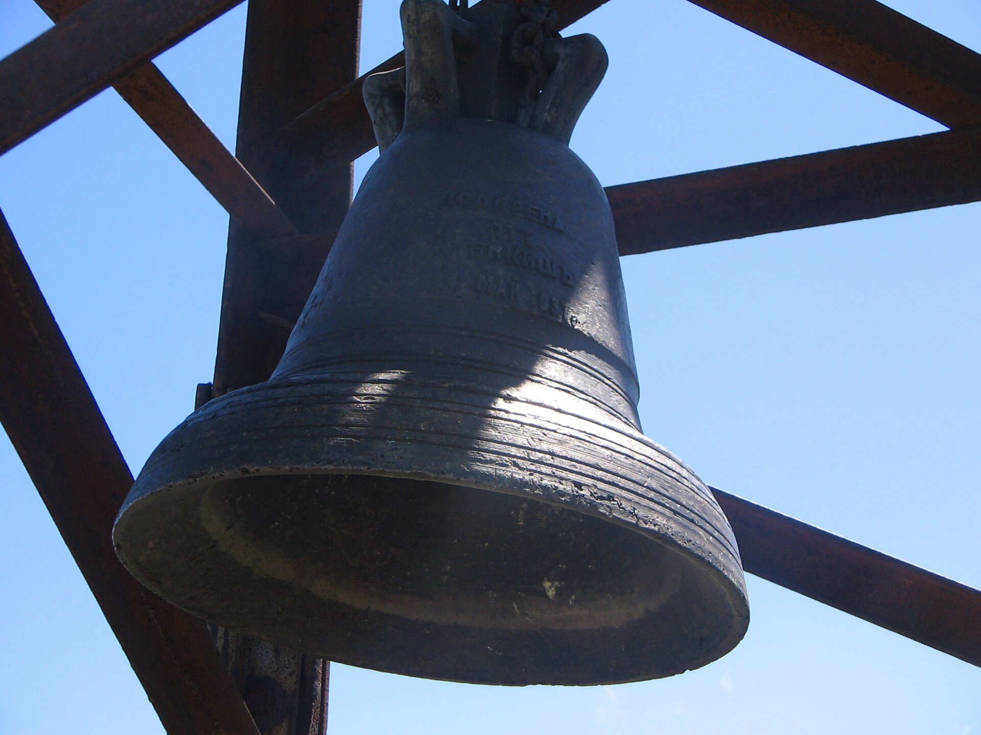
Just east of the station a bell hangs from a metal frame, and the custom is to ring it when you reach the top. I ring it every time, before the soup.
Aleko Konstantinov and the 1895 climb of Cherni Vrah
Organised hiking in Bulgaria dates from 27 August 1895, when Aleko Konstantinov led about 300 people from Sofia up Cherni Vrah. Ivan Vazov, the poet and novelist, was one of them. Hikers still mark the date with a rally on the peak every year.
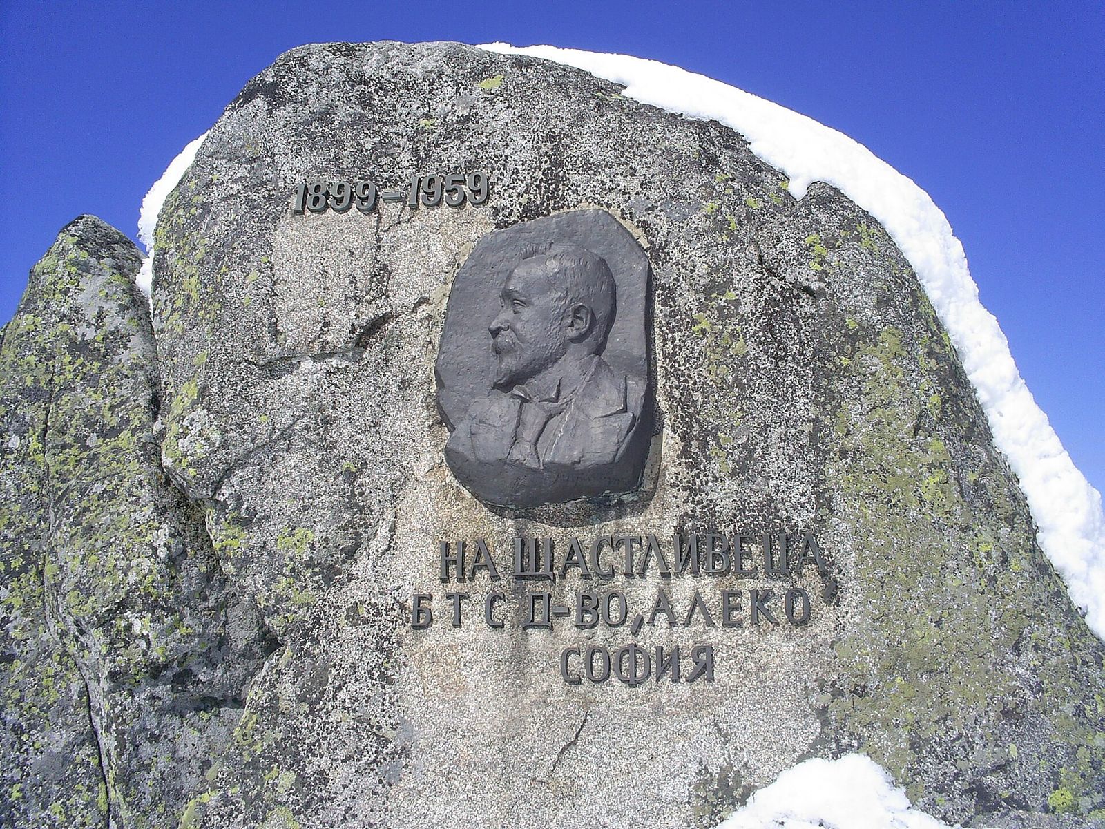
On the summit a boulder carries a relief of his face. The inscription calls him Shtastlivetsa, the Lucky One, the pen name he wrote under, and it's the stone I point out to friends after the bell.
The peak's story goes back further if you believe the legend, which has Philip V of Macedon climbing it in 181 BC. Nobody agrees on the name either. One story credits the dark rocks on the top. Another blames the mountain pine that once covered the slopes, until shepherds burned it in the Middle Ages to make pasture. Only a few isolated stands of it survive near the summit, and they're slow to spread.
Kamen Del on the way down
On a long summer day I add Kamen Del (Камен дел) after lunch. It's a 1,862-metre heap of boulders on the northern side of Vitosha, an hour to an hour and a half on foot from Aleko each way, or about 7 km for the round trip.
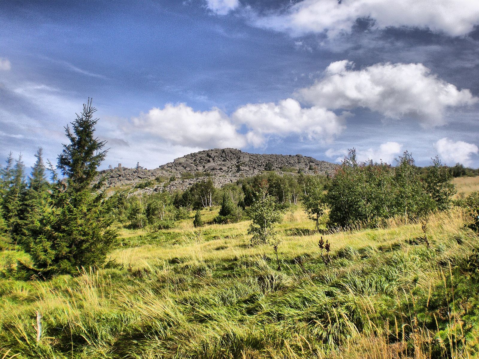
From Cherni Vrah the city looks tiny, because the summit is set well back from the edge of the mountain. Kamen Del looks straight down on Sofia, and it's my favourite view of Sofia. Summit in the morning, Kamen Del after lunch, bus 66 home: that's the Sunday I build into my perfect weekend in Sofia for anyone who likes walking.
Cherni Vrah weather and the best time to climb
Up top it's a tundra climate, and the average temperature across the year is just 0.3°C. Only Murgash, in the Balkan range, is windier among Bulgaria's peaks, and Cherni Vrah's wind averages 9.3 metres a second.
| Season | On the summit | My verdict |
|---|---|---|
| Summer, June to August | August is the warmest month, with an average daily high of 12.5°C, and June the wettest, with 142 mm | The easiest months, with long light evenings |
| Autumn, September and October | September is the driest month, with 71 mm | My favourite: the driest paths of the year |
| Winter, November to March | February nights average -10.6°C, and the record low is -27.4°C | A snow walk, in boots, on a clear and calm day only |
If you're planning when to visit Sofia around this hike, I'd pick July to September. October has its own reward, when the beech and birch woods low on Vitosha go yellow and copper and the late bus is still running.
Snow covers the path through the winter, and ski runs connect the summit with Aleko and Kumata.
What to pack for Cherni Vrah
The ride up is a city bus, but the summit has mountain weather, and I pack for that.
- A windproof and a fleece, even in July: the top is open ground above the trees.
- A waterproof, because the summit gets 1,175 mm of rain and snow a year, nearly twice what London gets.
- Shoes with real grip for the rock and loose stone, and boots in snow.
- Water and snacks for the walk between the Aleko hut and the summit cafe.
- Euros in cash, because I never trust a mountain hut to take cards.
- A screenshot of the return times for bus 66.
- A head torch in winter, when dusk comes early.
Who the Cherni Vrah hike suits
- A first mountain day: the Aleko route is a steady walk with a cafe at the top and a bus at the bottom.
- A Sunday without a car: metro, bus 66 and your own two feet, and you're back in the city for dinner.
- Children who already walk 4 hours at home: I'd take 9 to 12s up from Aleko, and younger ones are happier on the paths around the huts.
- Keen walkers: the Golden Bridges and Knyazhevo routes turn it into a full day with 880 metres or more of climbing.
It's the wrong pick in a few cases:
- The summit is in cloud: you get wind and no view, so go to Golden Bridges or Kamen Del instead.
- Winter without boots: the path is snow and ice from late autumn to spring.
- You want a big alpine day: the Seven Rila Lakes and Musala, Bulgaria's highest summit, are the bigger day hikes from Sofia, and both mean a much longer journey to the start.
Key takeaways
- For a first climb, take bus 66 to Aleko and walk the 3 km path up and back: it fills most of a day door to door.
- For a longer day, start at Golden Bridges on bus 63 and come down the short way to Aleko.
- From November to March, plan around the early last bus and be off the summit by 3pm.
- On top, ring the bell, order the bean soup and get the 100 National Tourist Sites stamp at the cafe.
- If the summit is in cloud, swap it for Kamen Del or Golden Bridges.
Frequently asked questions
How long does it take to climb Cherni Vrah?
Allow 1.5 to 2 hours from Aleko, up a 3 km marked path. Starting at Golden Bridges, it's about 3 hours up via Kumata hut, and from the tram terminus in Knyazhevo about 5.5 hours. Add the bus rides and the descent, and even the short route takes up most of a day.
How do I get from Sofia to Vitosha Mountain?
The cheapest way is the M2 metro to its southern terminus, Vitosha, and bus 66 from there to Aleko, at €0.80 for each ride. For Golden Bridges, bus 63 leaves from Tsar Boris III Boulevard. With no lift running up from the city, the alternatives are a taxi or a hire car.
How do you climb Cherni Vrah?
Most people start at Aleko and follow the marked path up the open slopes to the weather station on top. It's an uphill walk with no scrambling, and yellow-and-black poles mark the way when the cloud comes in. Wear shoes with grip and carry a windproof, even in summer.
What mountains are in Sofia, Bulgaria?
Sofia sits at the foot of Vitosha, whose top, Cherni Vrah, reaches 2,290 metres. To the north the city looks out at the Balkan range, Stara Planina. Rila, home to Musala, Bulgaria's highest summit at 2,925 metres, lies to the south.
Is Cherni Vrah hard to climb?
No, the route from Aleko is a steady uphill walk of about 480 metres with no exposed sections. The weather is the hard part: the summit is the second-windiest peak in Bulgaria, and it can sit in cloud while Sofia is in sunshine.
Can you climb Cherni Vrah in winter?
Yes, people climb it all year and the summit cafe stays open, but in winter it's a snow walk that needs boots and a clear day. February nights on top average -10.6°C, and the last bus down leaves at 5.45pm.
What does Cherni Vrah mean?
Cherni Vrah means Black Peak in Bulgarian. The name may come from the dark rocks on the summit, or from the mountain pine that once darkened its slopes before shepherds burned it for pasture in the Middle Ages.
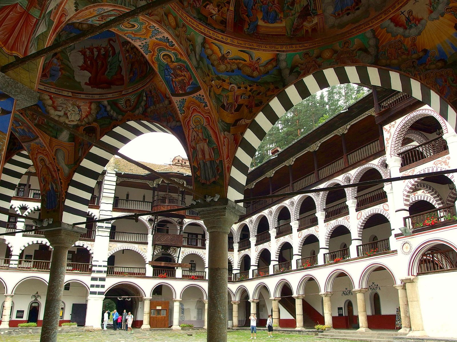
12 Best Day Trips from Sofia (and How I Get There)
My 12 favourite trips out of Sofia by bus, train and hire car, and the ones that deserve a night away.
Read the guide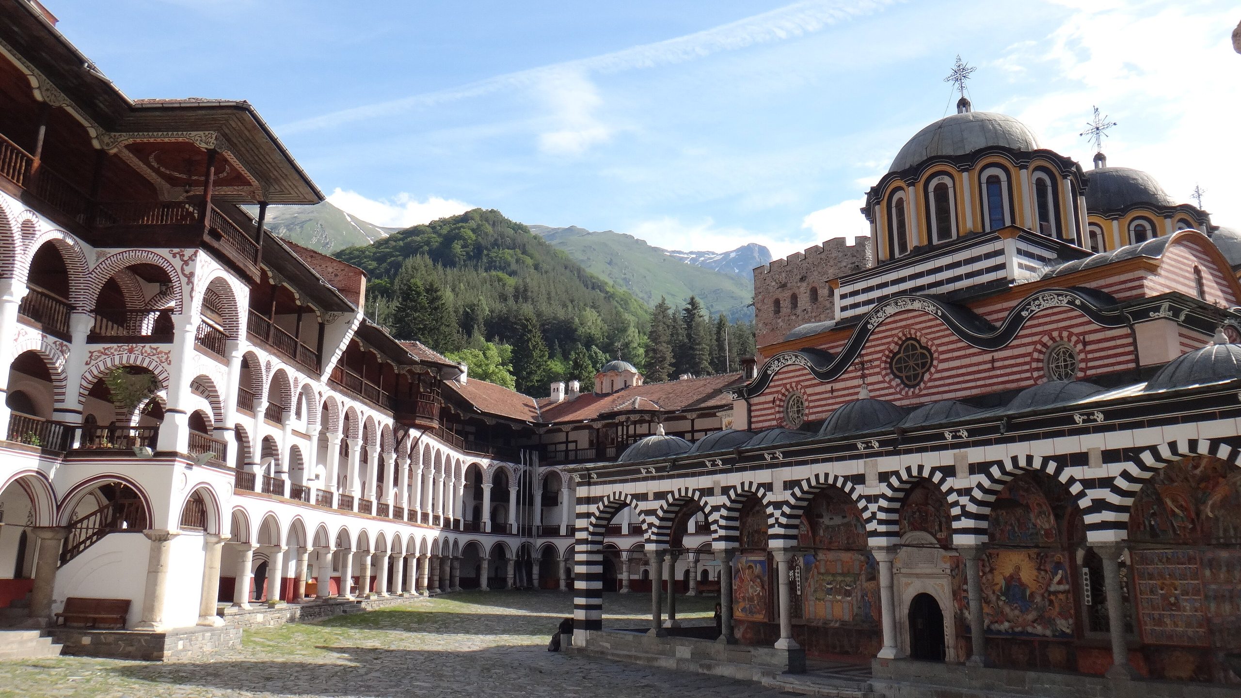
Rila Monastery Day Trip from Sofia: Bus, Car and Timings
Bulgaria's biggest monastery is free to walk into and 2 hours from Sofia. How I get there myself, and what to see.
Read the guide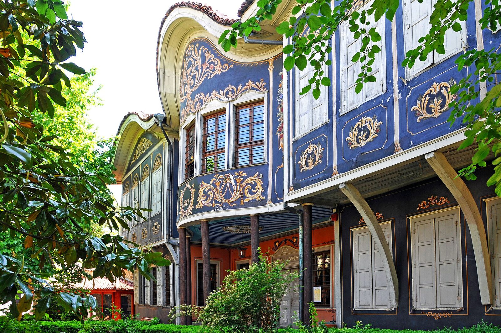
Plovdiv Day Trip from Sofia: Bus, Train and My One-Day Route
Plovdiv by bus or train from Sofia, and the route I walk to fit the Old Town, the Roman theatre and Kapana into one day.
Read the guide